Rebranding and website of dataset platform Kontur 

Have put the brand on the map of startups that save the world

Goal

A platform that collects and processes geospatial data. Business, emergency services and humanitarian organizations use Kontur to rescue people, predict risks and manage assets.

To convey to the audience what Kontur is and what its value is.

A platform that collects and processes geospatial data. Business, emergency services and humanitarian organizations use Kontur to rescue people, predict risks and manage assets.

Goal

To convey to the audience what Kontur is and what its value is.

Why do you need Kontur?

The platform processes Big Data from a variety of open and closed sources, and then visualizes the information in relation to the desired location. The resulting data is provided by Kontur to businesses and rescue services for analysis and insights.

How to save people quickly?

Information about the location of the fire + traffic congestion + equipment at each fire station = efficiency in decision making and a quick trip to the scene.

What are the consequences of climate change?

Fire data + air condition + temperature increase = forecast of the development of critical situations and information about the nearest shelters with clean air.

Where to build a warehouse to deliver goods to stores quickly?

Route planning tools + data on walking and transport accessibility + traffic congestion = deciding from which point in the city it’s faster and cheaper to deliver goods.

Where to open a cafe so as not to close in the first six months?

Analysis of data on population density + built-up area + infrastructure + commuting traffic — number of coffee shops = deciding which streets have good traffic and pent-up demand.

Why do you need Kontur?

The platform processes Big Data from a variety of open and closed sources, and then visualizes the information in relation to the desired location. The resulting data is provided by Kontur to businesses and rescue services for analysis and insights.

How to save people quickly?

Information about the location of the fire + traffic congestion + equipment at each fire station = efficiency in decision making and a quick trip to the scene.

What are the consequences of climate change?

Fire data + air condition + temperature increase = forecast of the development of critical situations and information about the nearest shelters with clean air.

Where to build a warehouse to deliver goods to stores quickly?

Route planning tools + data on walking and transport accessibility + traffic congestion = deciding from which point in the city it’s faster and cheaper to deliver goods.

Where to open a cafe so as not to close in the first six months?

Analysis of data on population density + built-up area + infrastructure + commuting traffic — number of coffee shops = deciding which streets have good traffic and pent-up demand.


Kontur helps you manage disasters, save lives, preserve property, value assets, and solve other problems related to geospatial data analysis.

We help Kontur communicate its value to everyone else. Go!

Logo

We keep the flexibility of the old logo and create a new one. We develop a font based on geometric grotesque and add symbolism — the area of interest of the observer.

Kontur helps you focus on the details, make the invisible visible and find insights.

The logo adapts to any format without any problem and remains recognizable in any form
Maps are the heart of the platform. The new logo doesn’t interfere with the information and interface layers, but at the same time it’s appropriate and noticeable

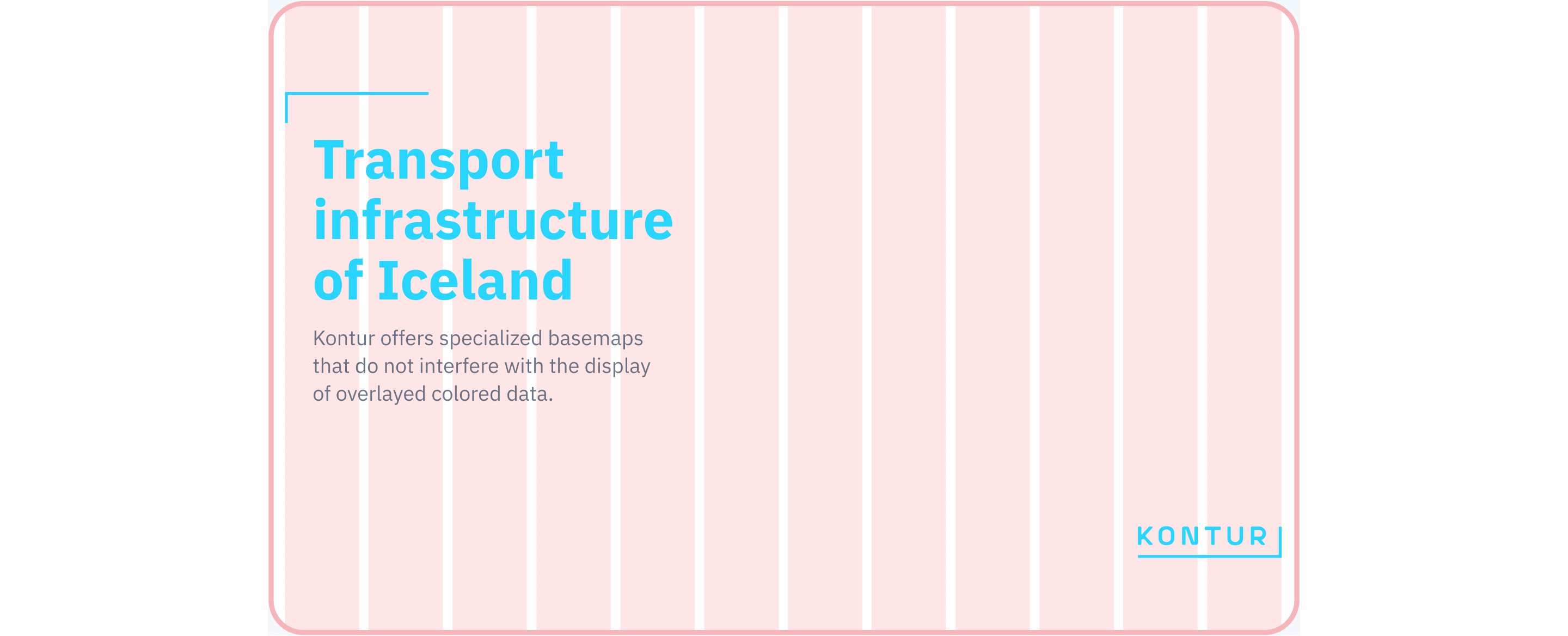
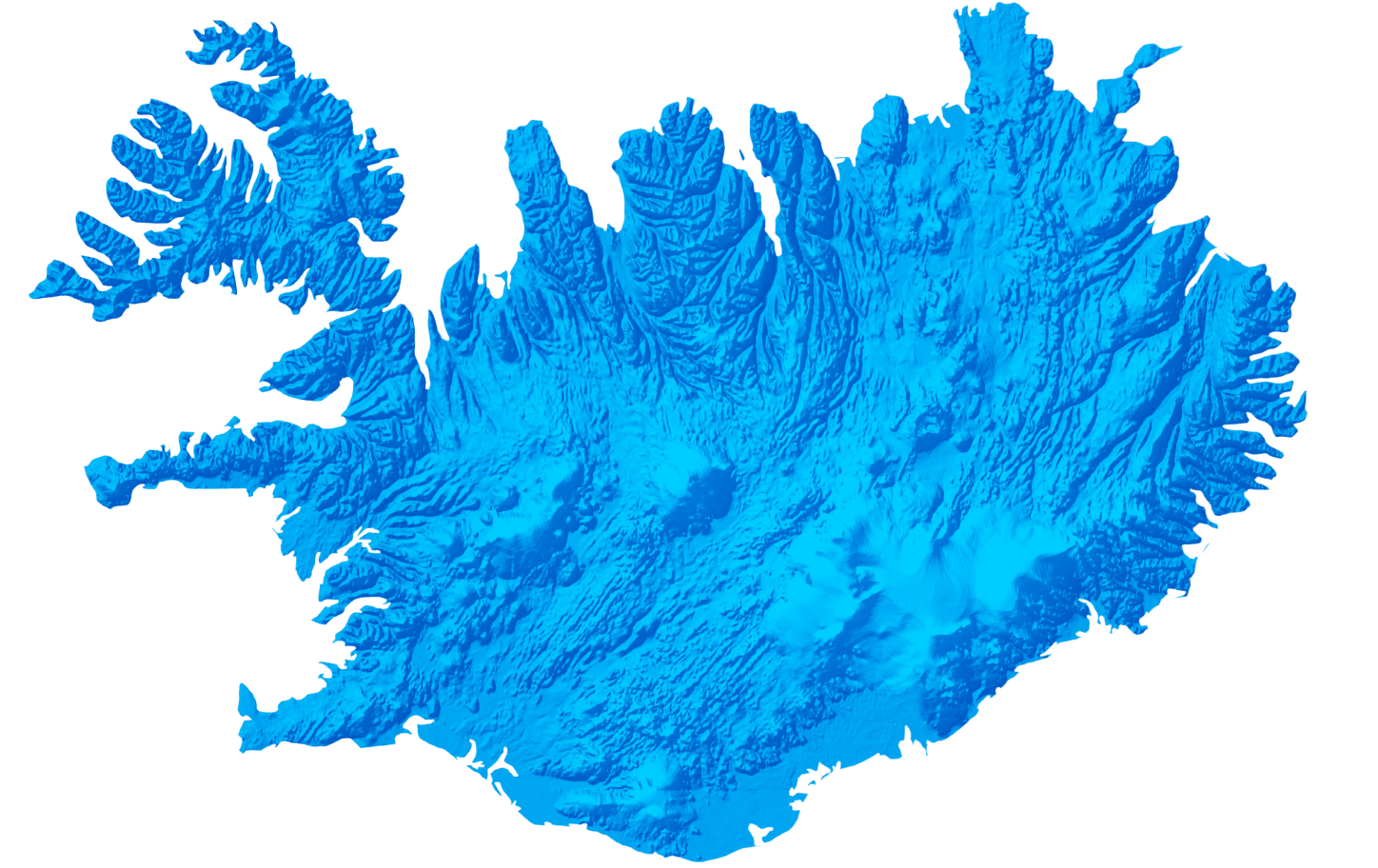
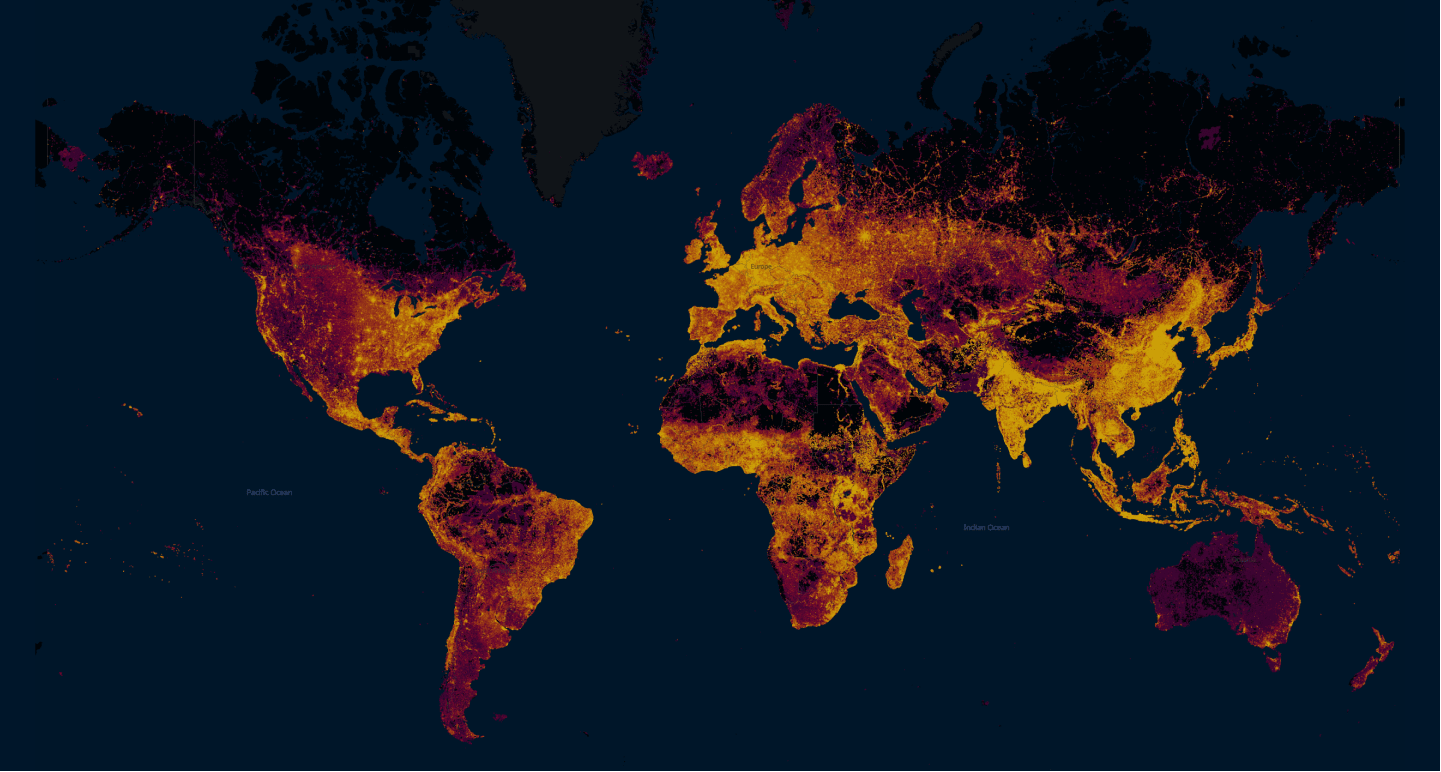
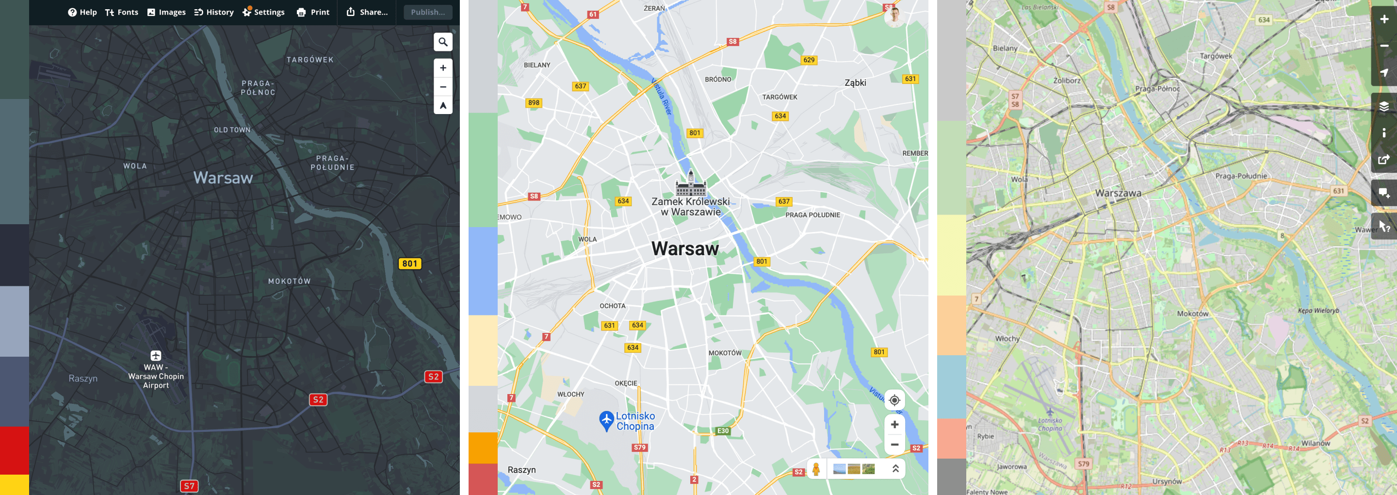
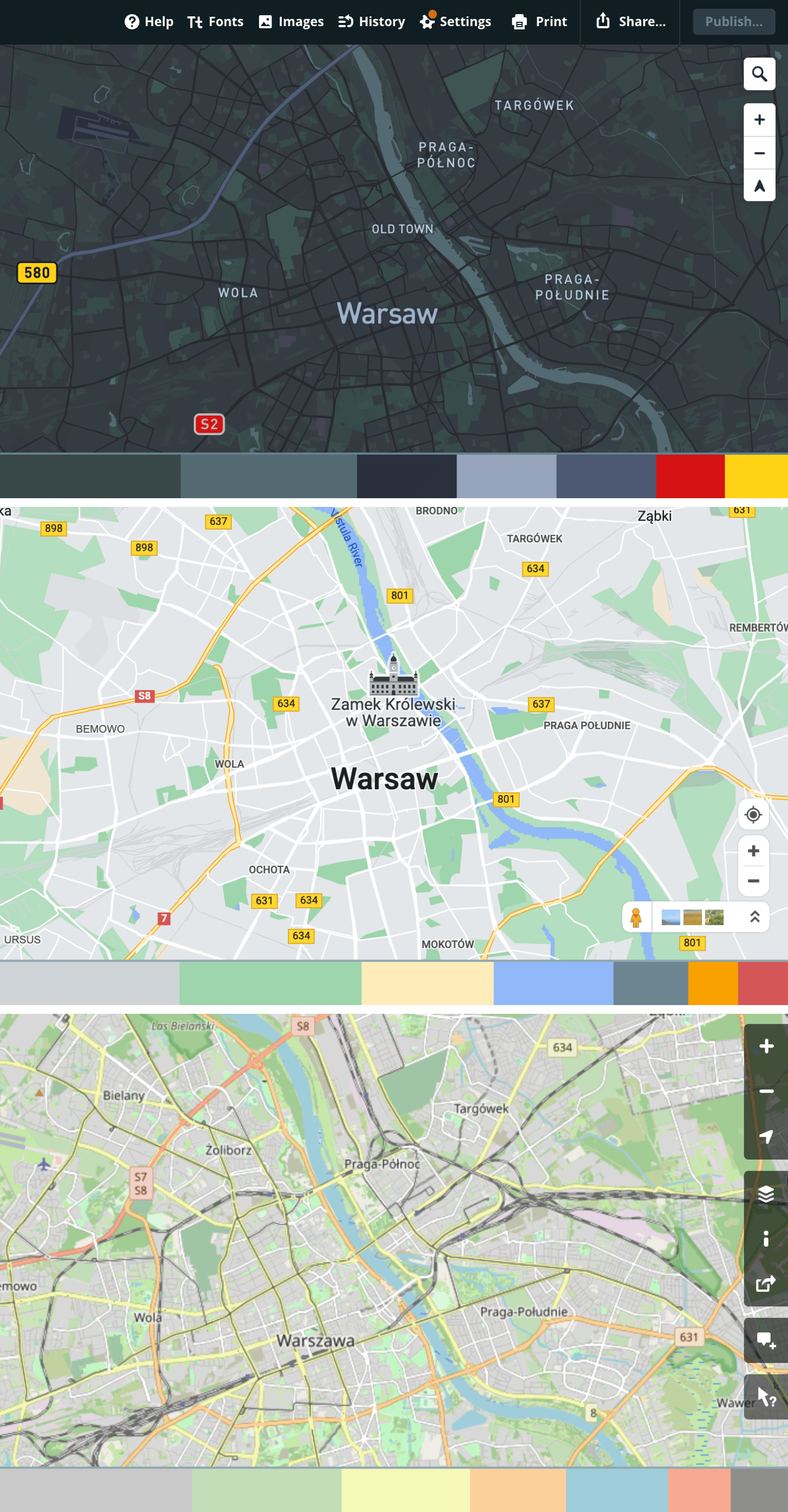
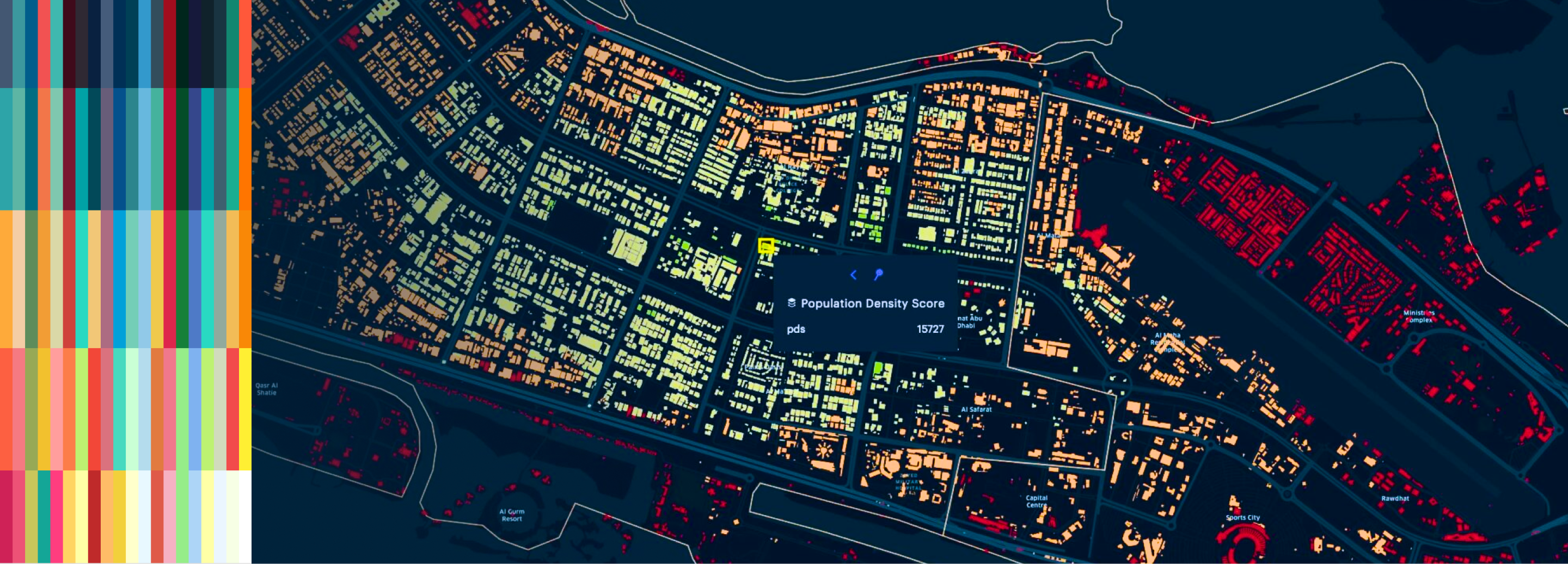
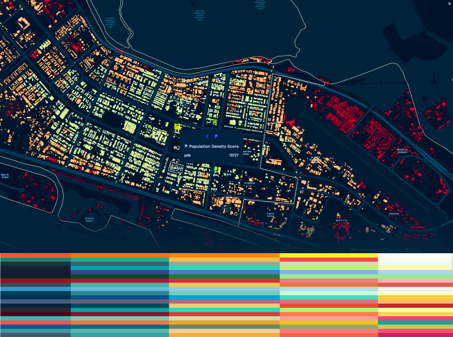
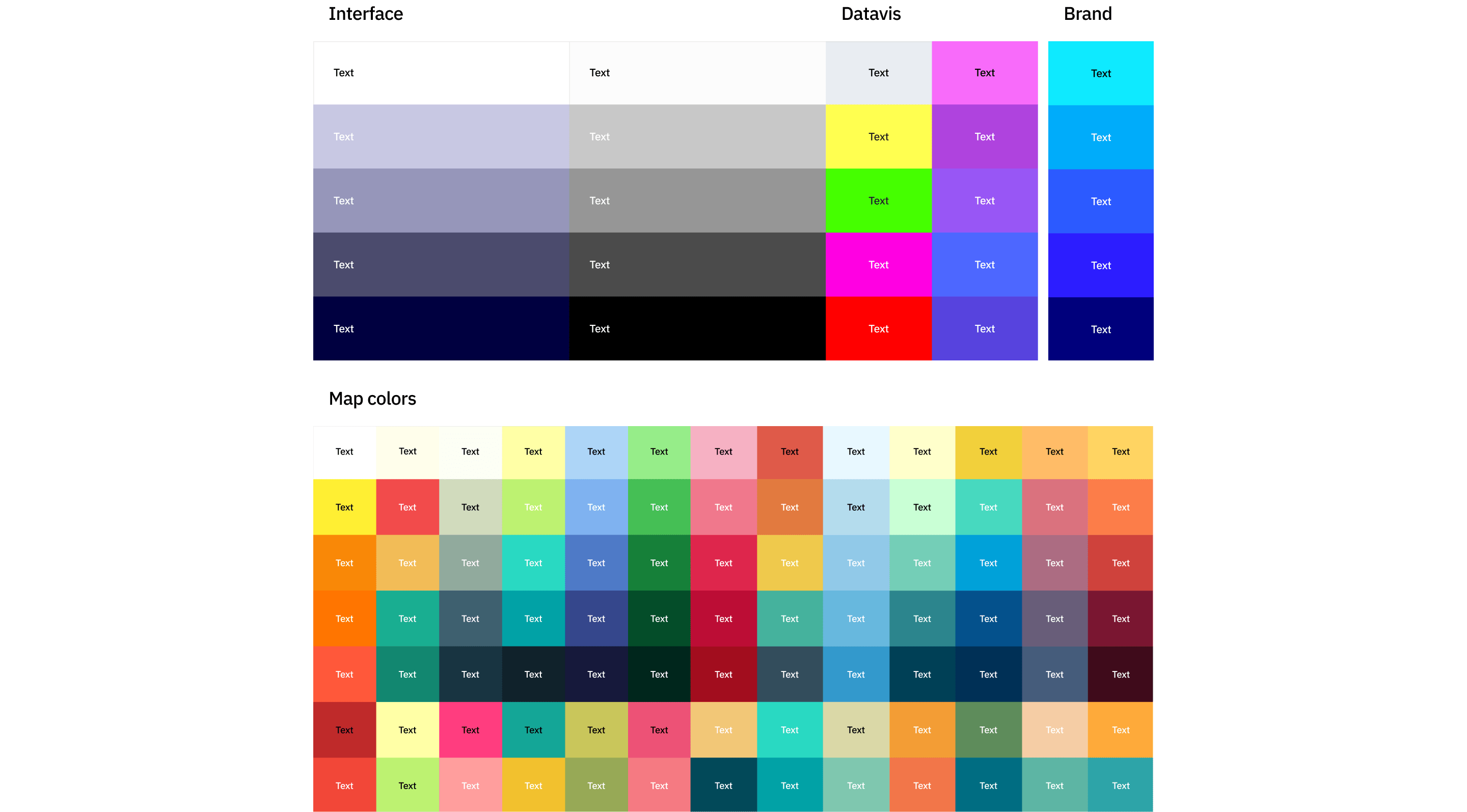
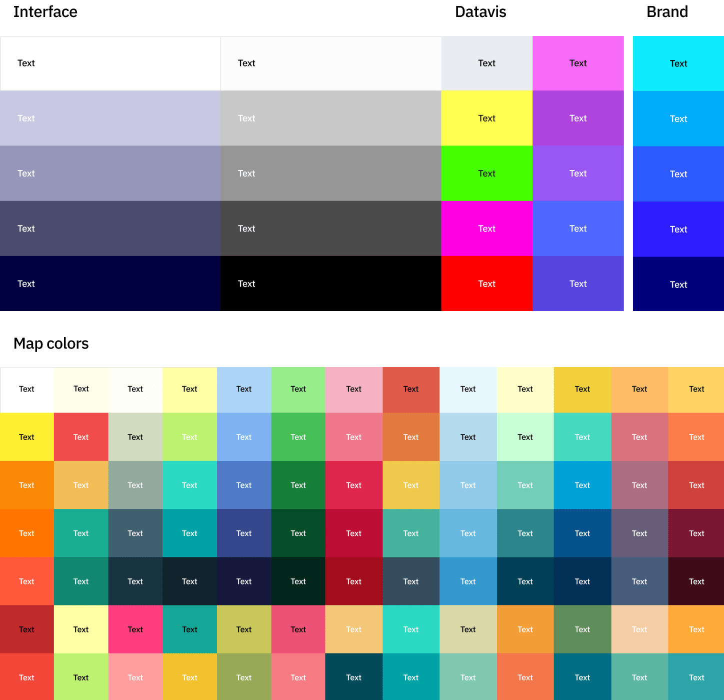
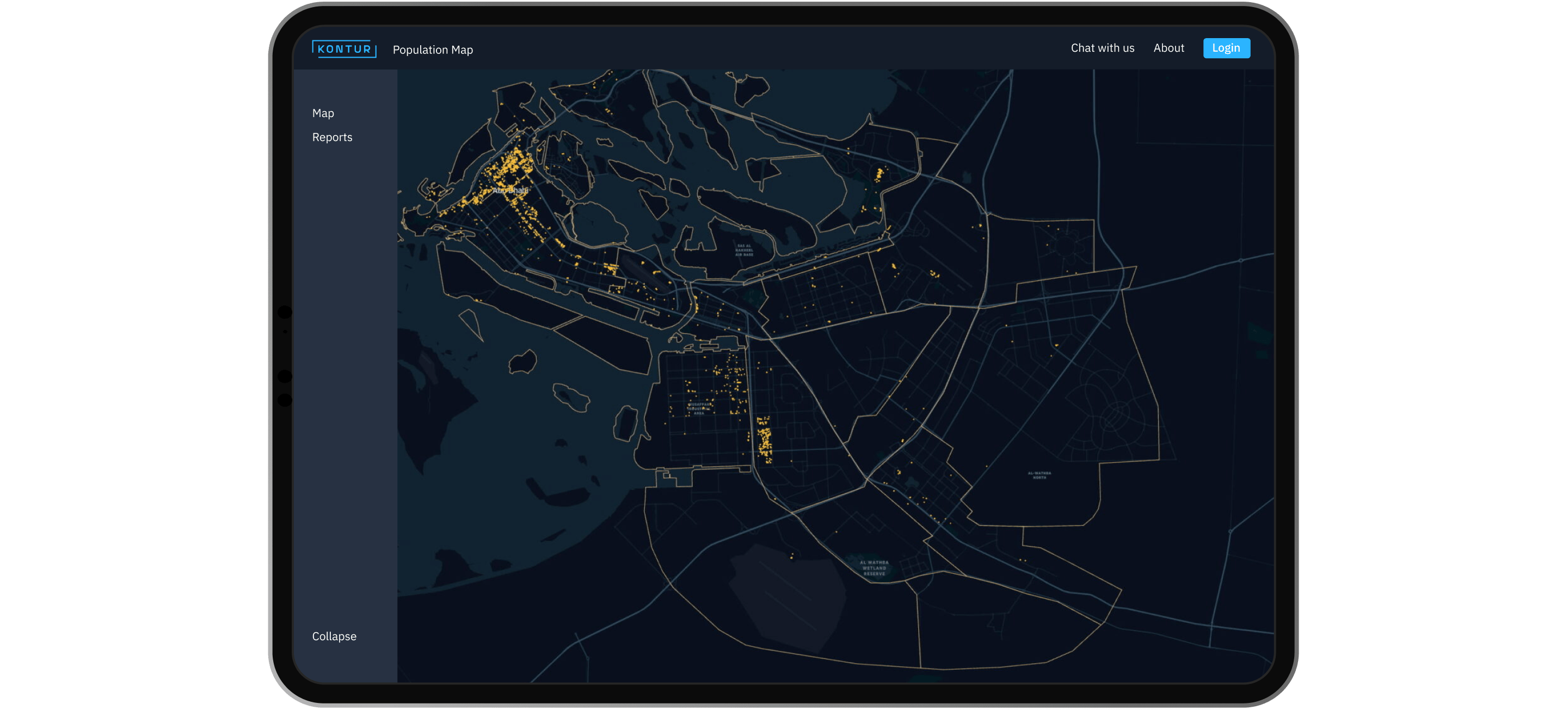
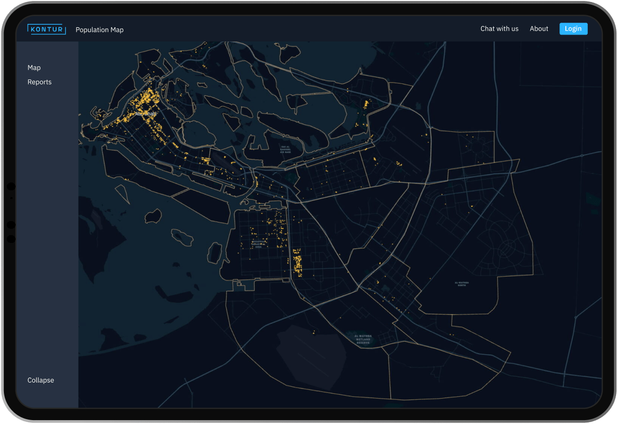
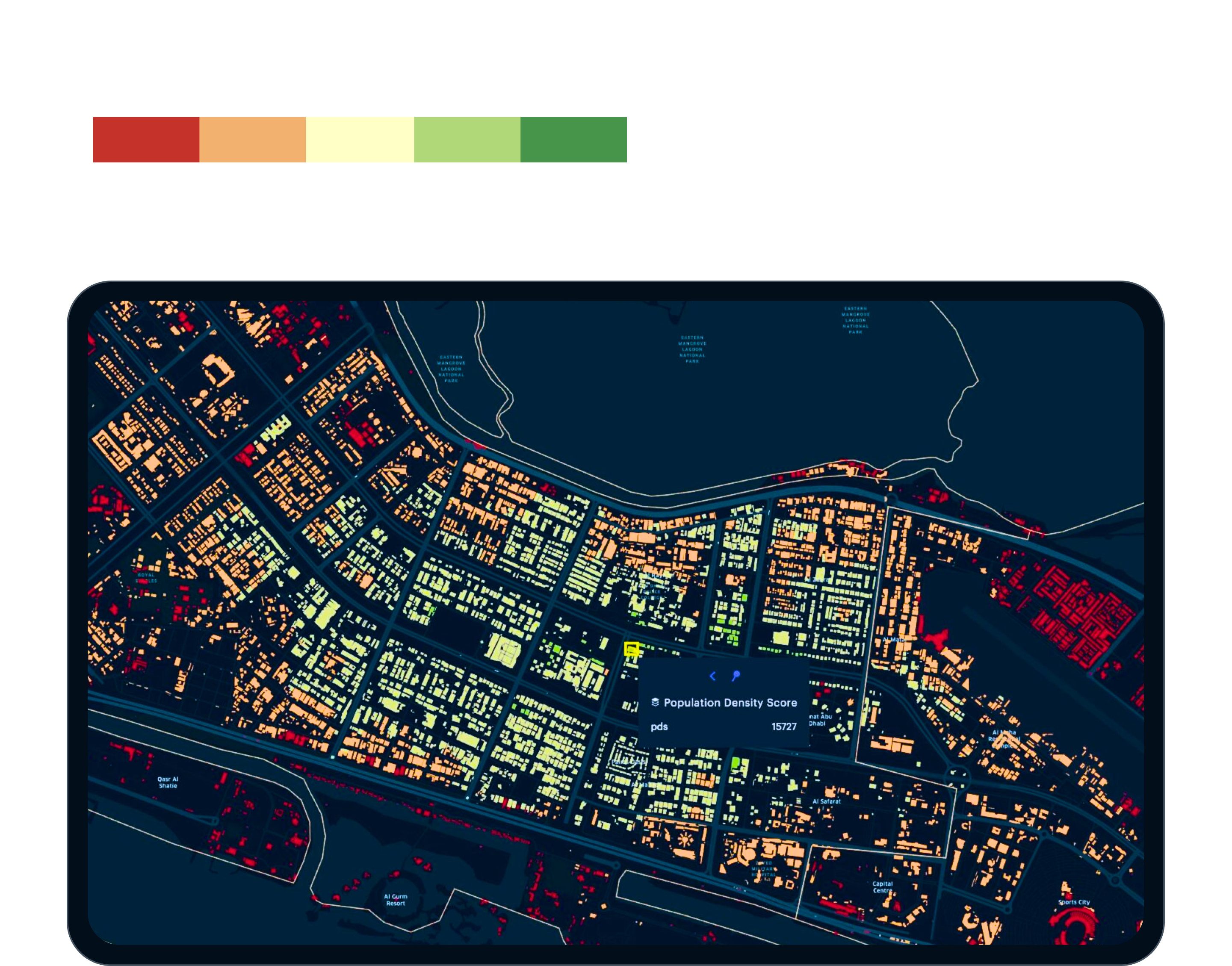
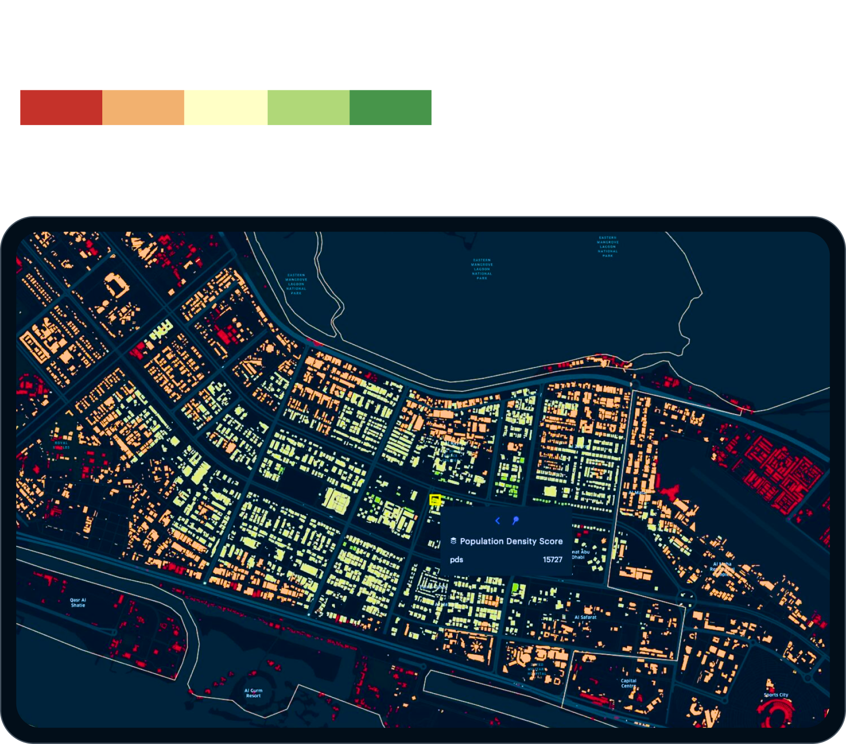
100 shades for all cartographic cases

We’re building a color scheme for Kontur cards that will make the tool complete and distinguish it from other products.

The map consists of a set of data and layers: tools, information and geographical objects, relief designation. Our task is to help the analysts find what they need among the variety of spots. To do this, we introduce coding by color and shape.

Thanks to the color schemes, OpenStreetMap, Mapbox and Google maps are instantly recognizable — you don’t even need to look for the logo. Do the same for Kontur
We give the most contrasting colors to the tools for working with the map. The brightness of the color is compensated by the shape of the elements: these are segments, polygons and other graphic primitives. For the remaining elements of the map and the data layer, there’s a large palette of its own

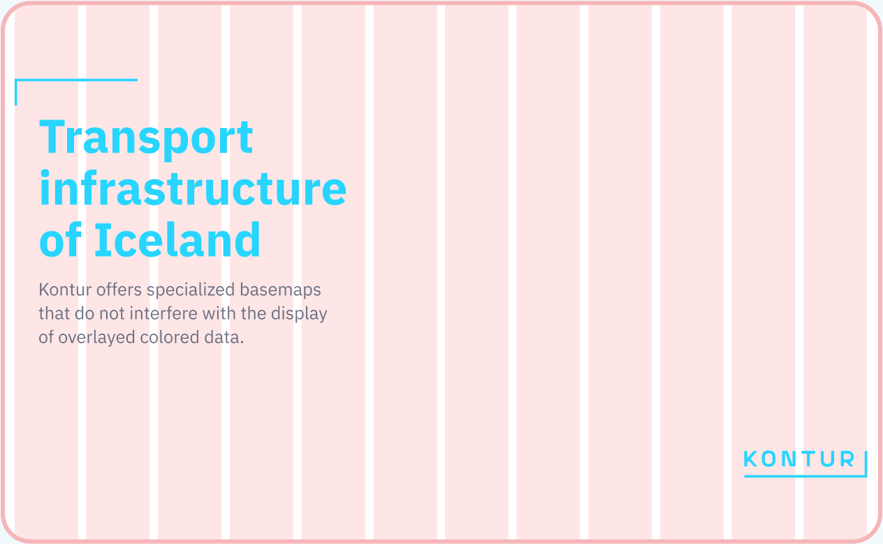
Graphic module and photo style

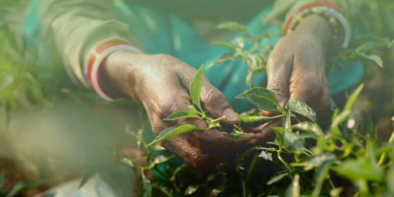
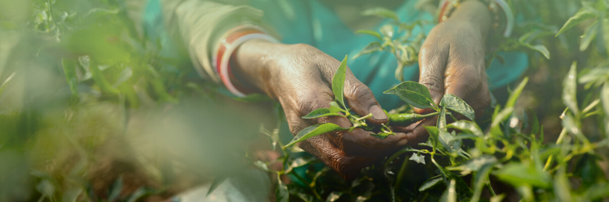
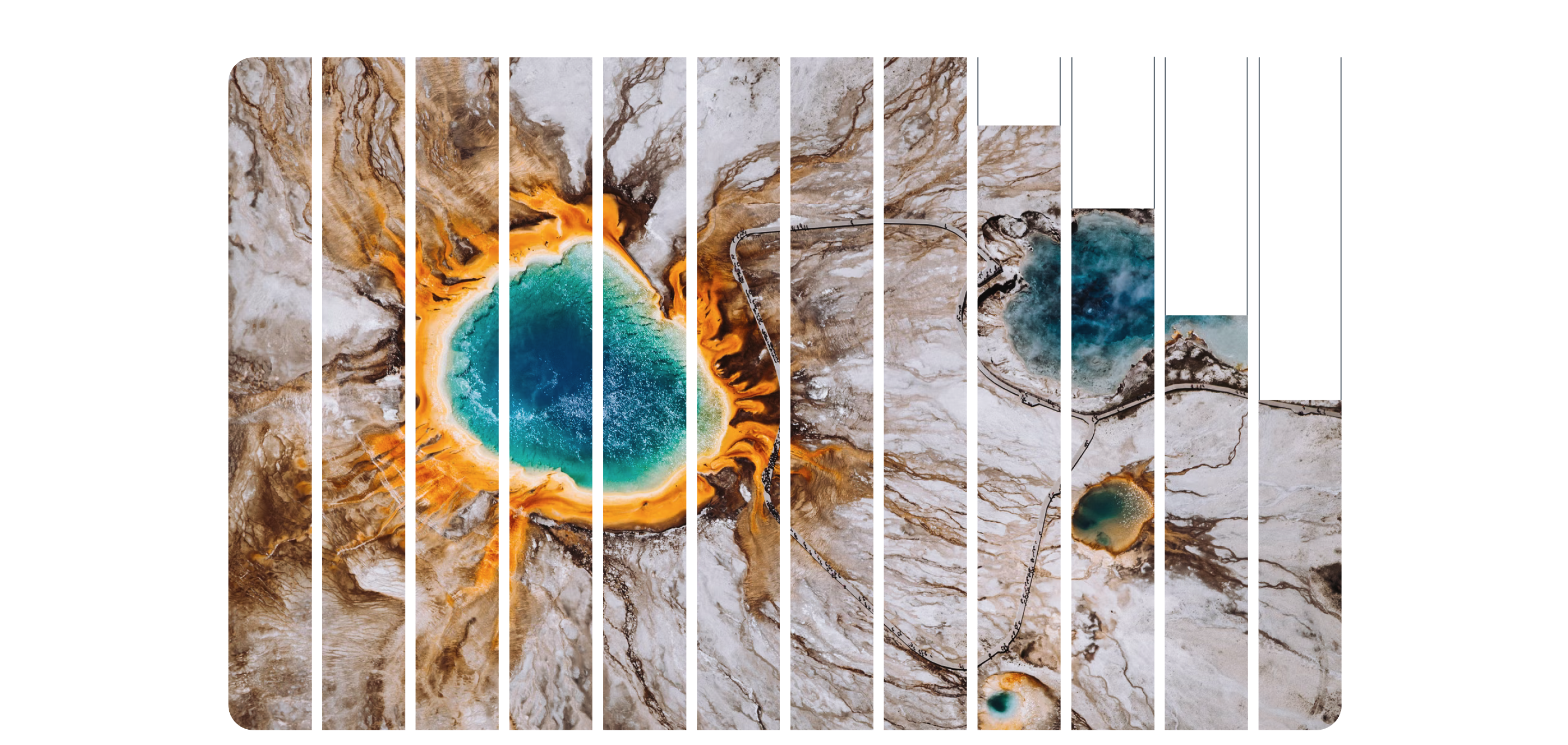
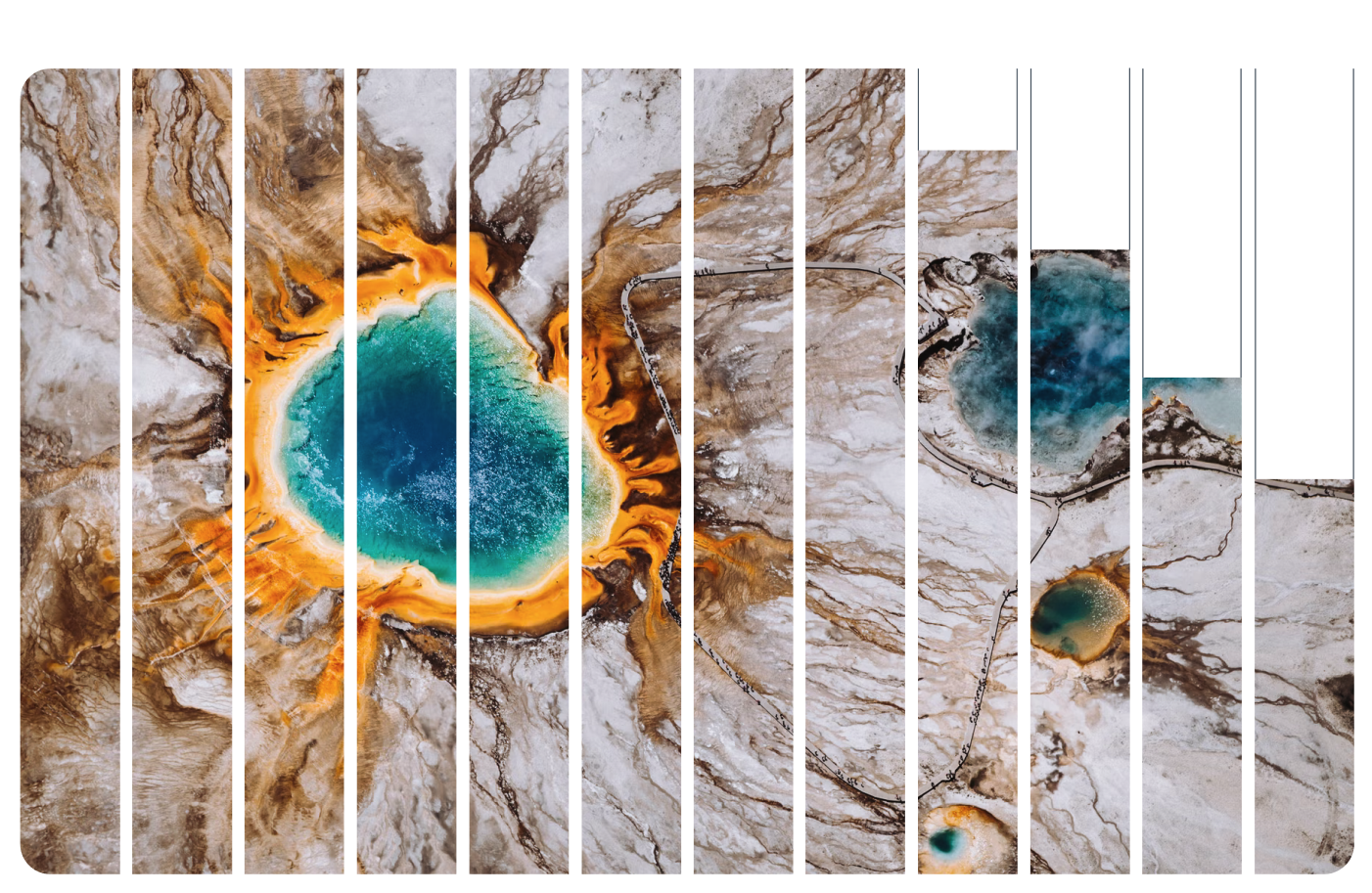
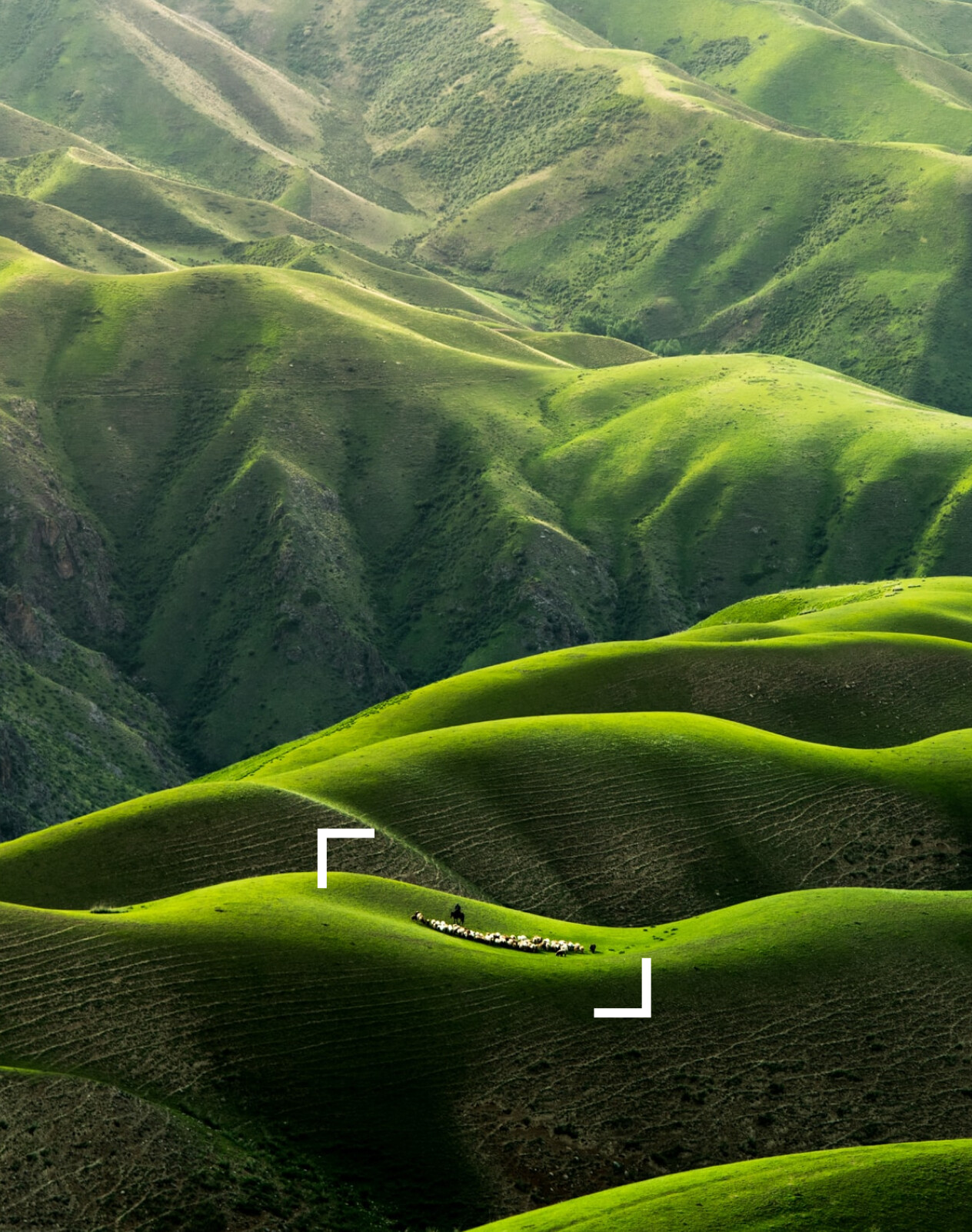
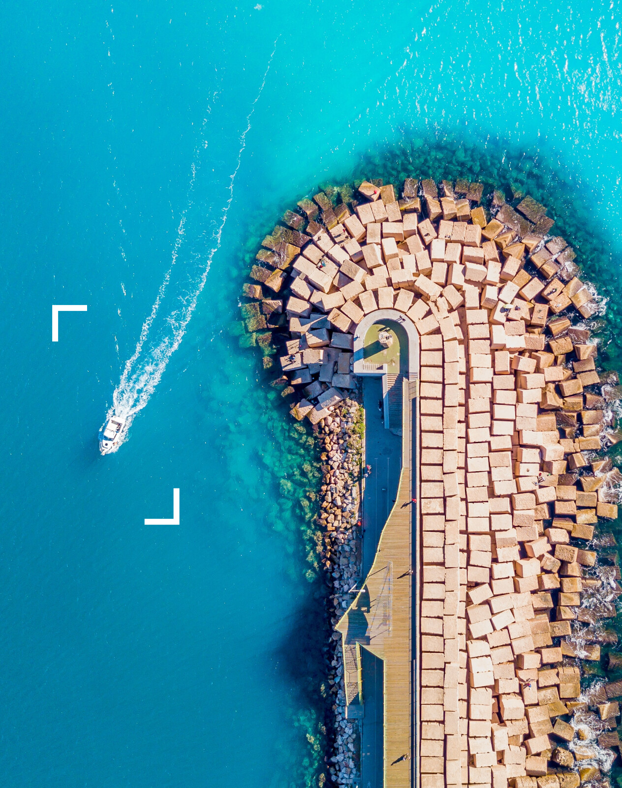
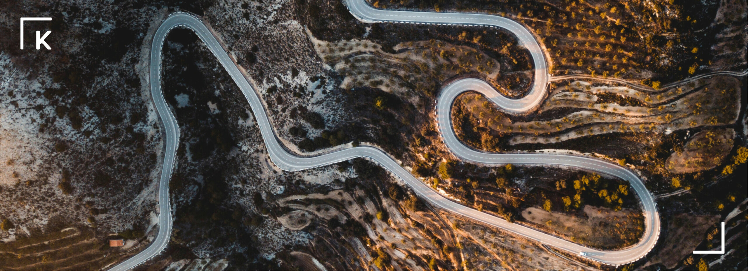
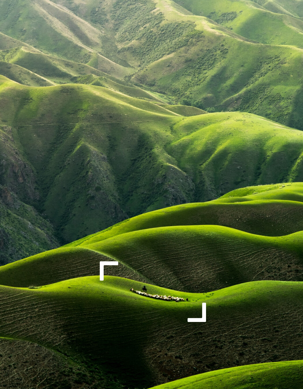
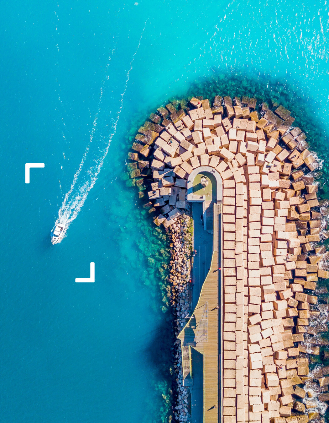
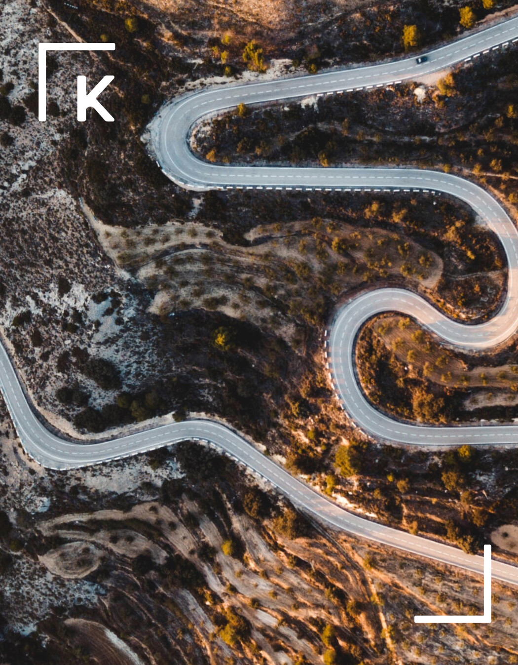
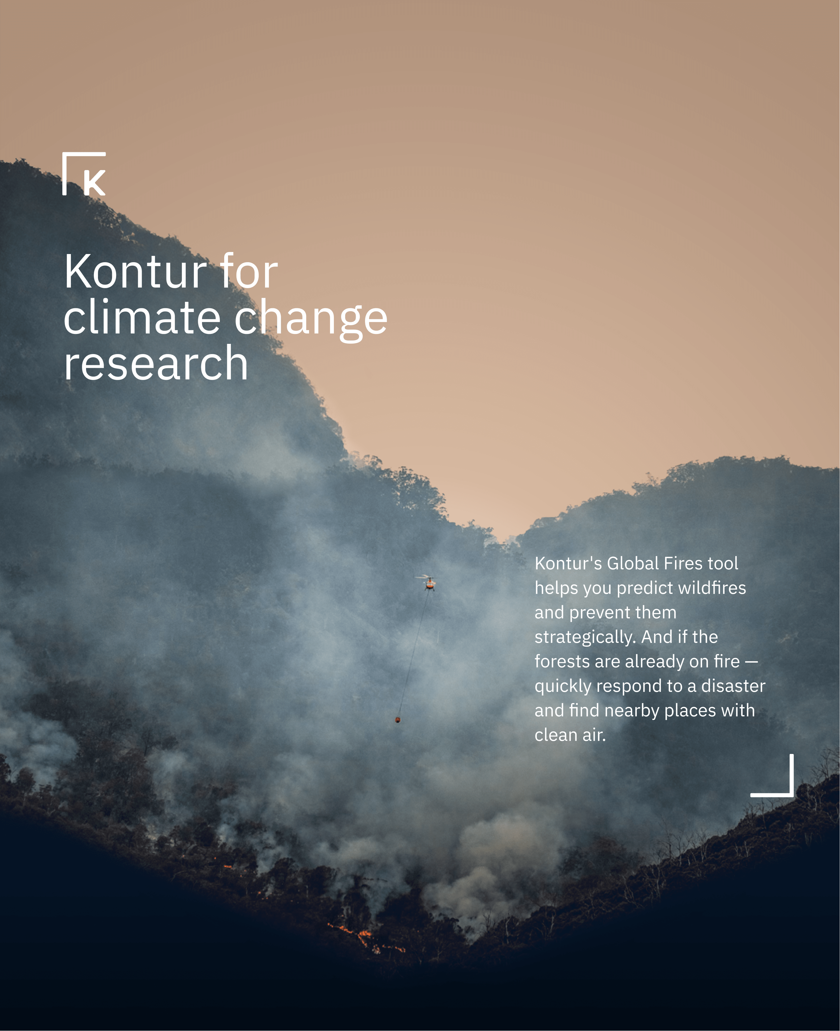
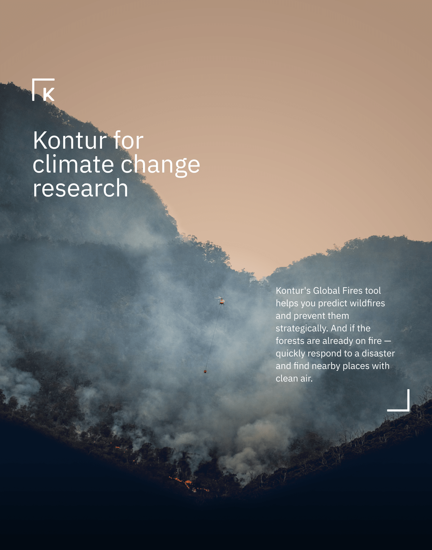
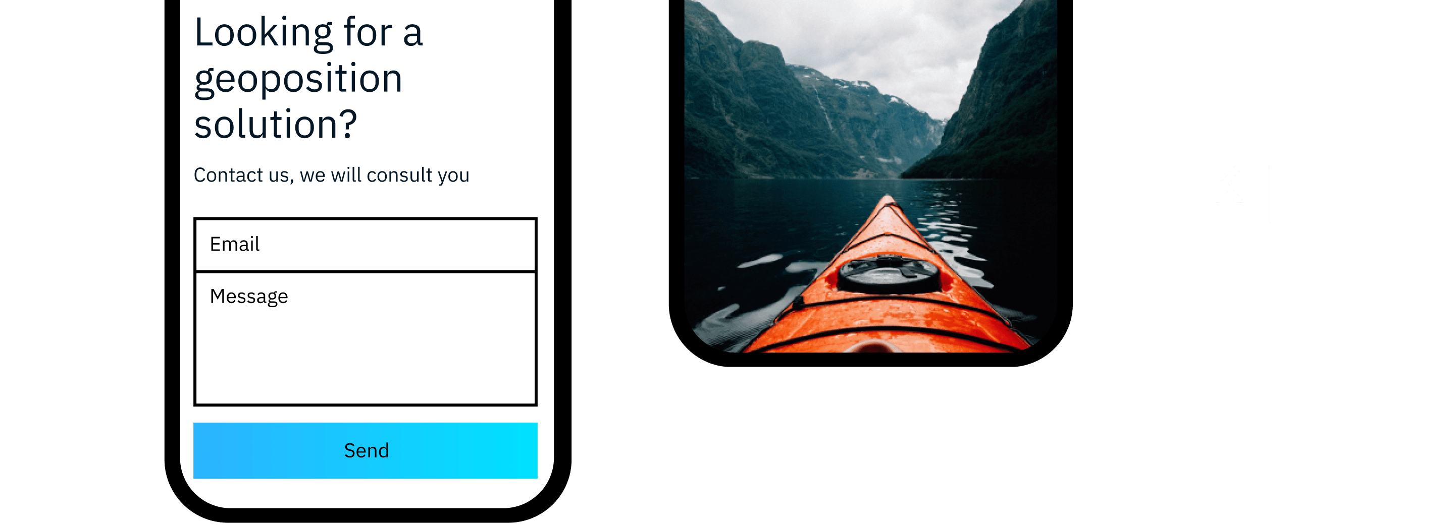
We don’t invent synthetics. We put into the Kontur photo style the view of a cartographer and satellite imagery on interesting violations in the usual course of things — insights.

Unexpected objects in photographs are a metaphor for insight that helps you manage your business and harness the elements.
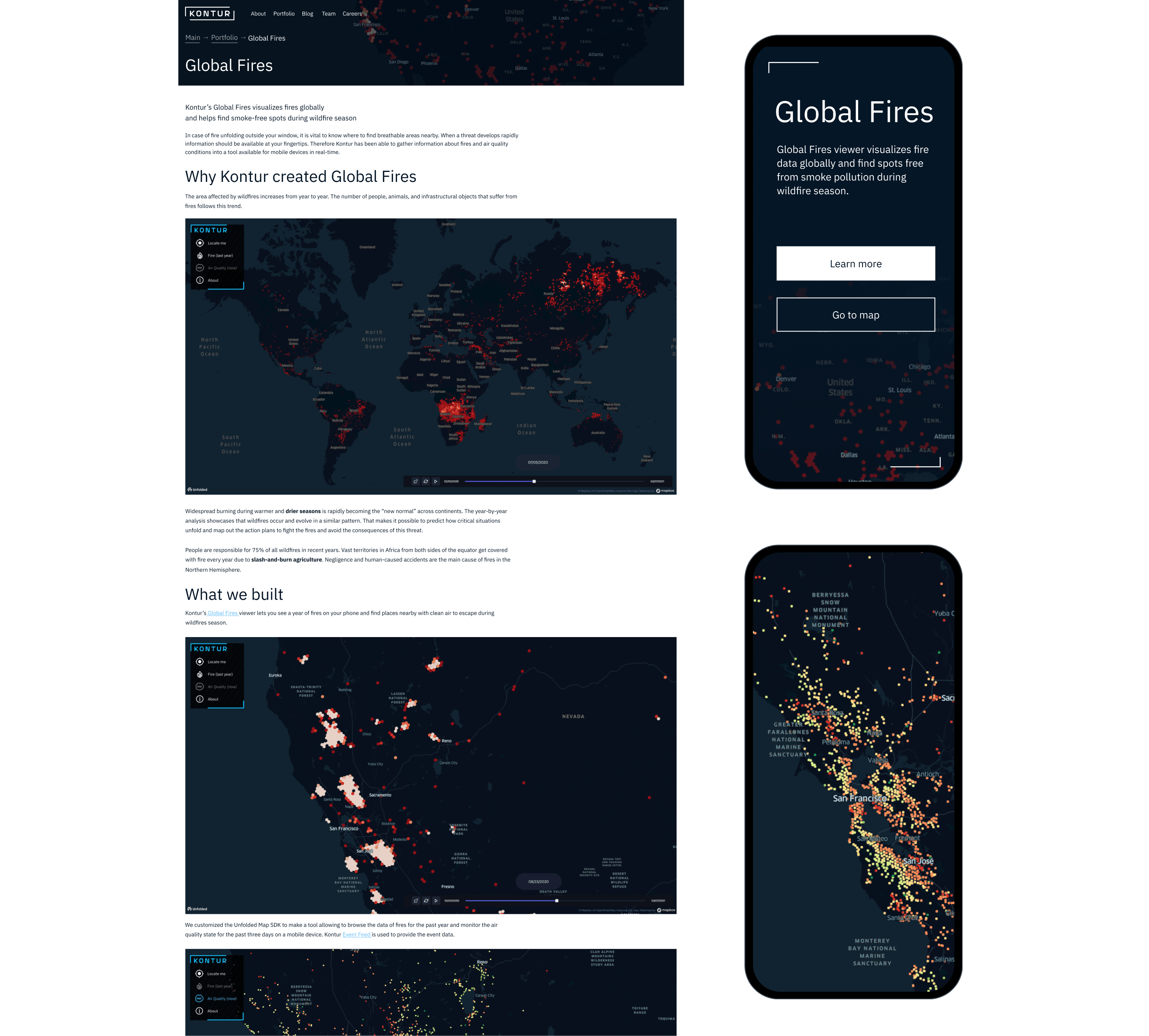
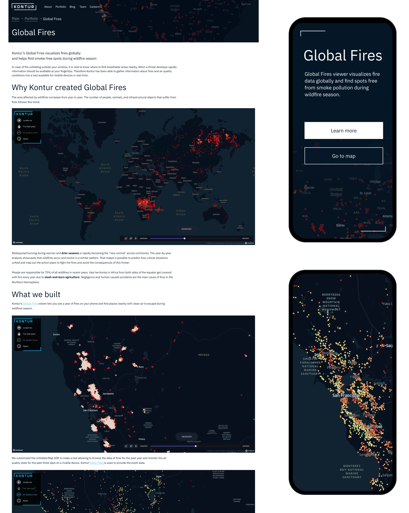
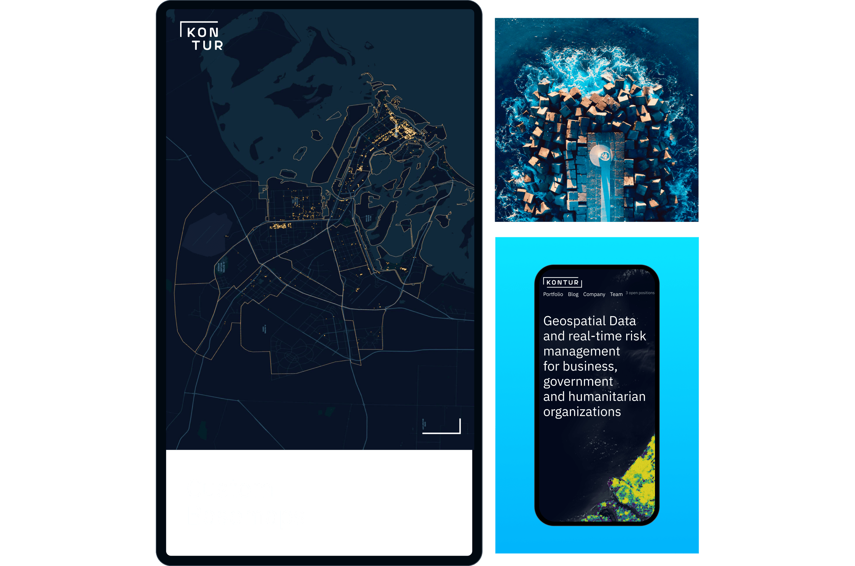
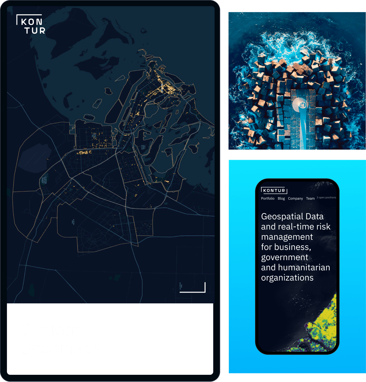
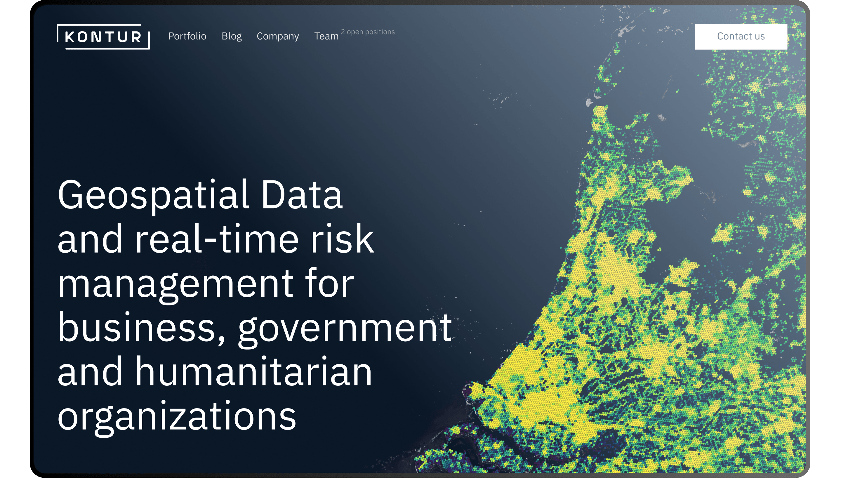
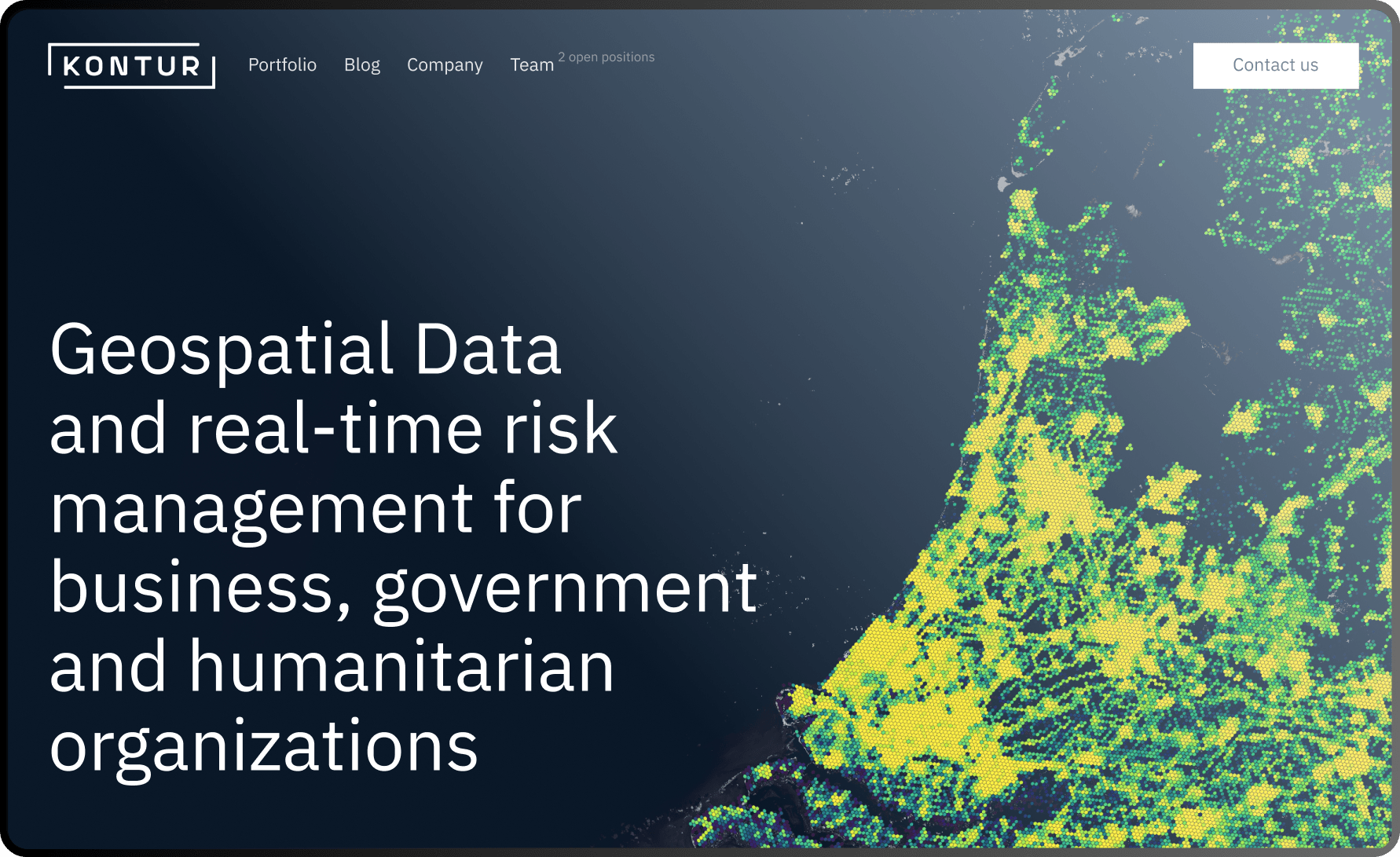
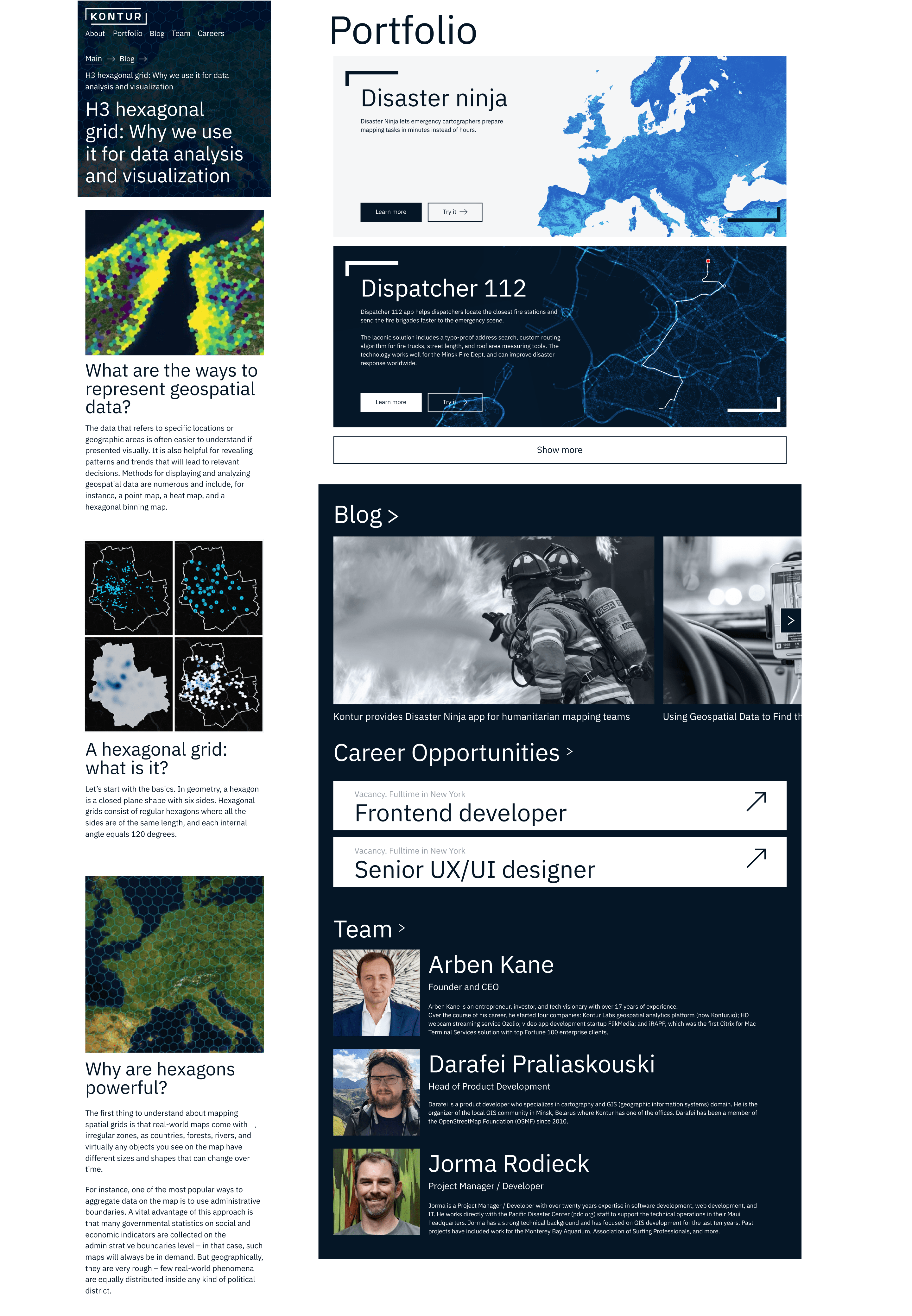
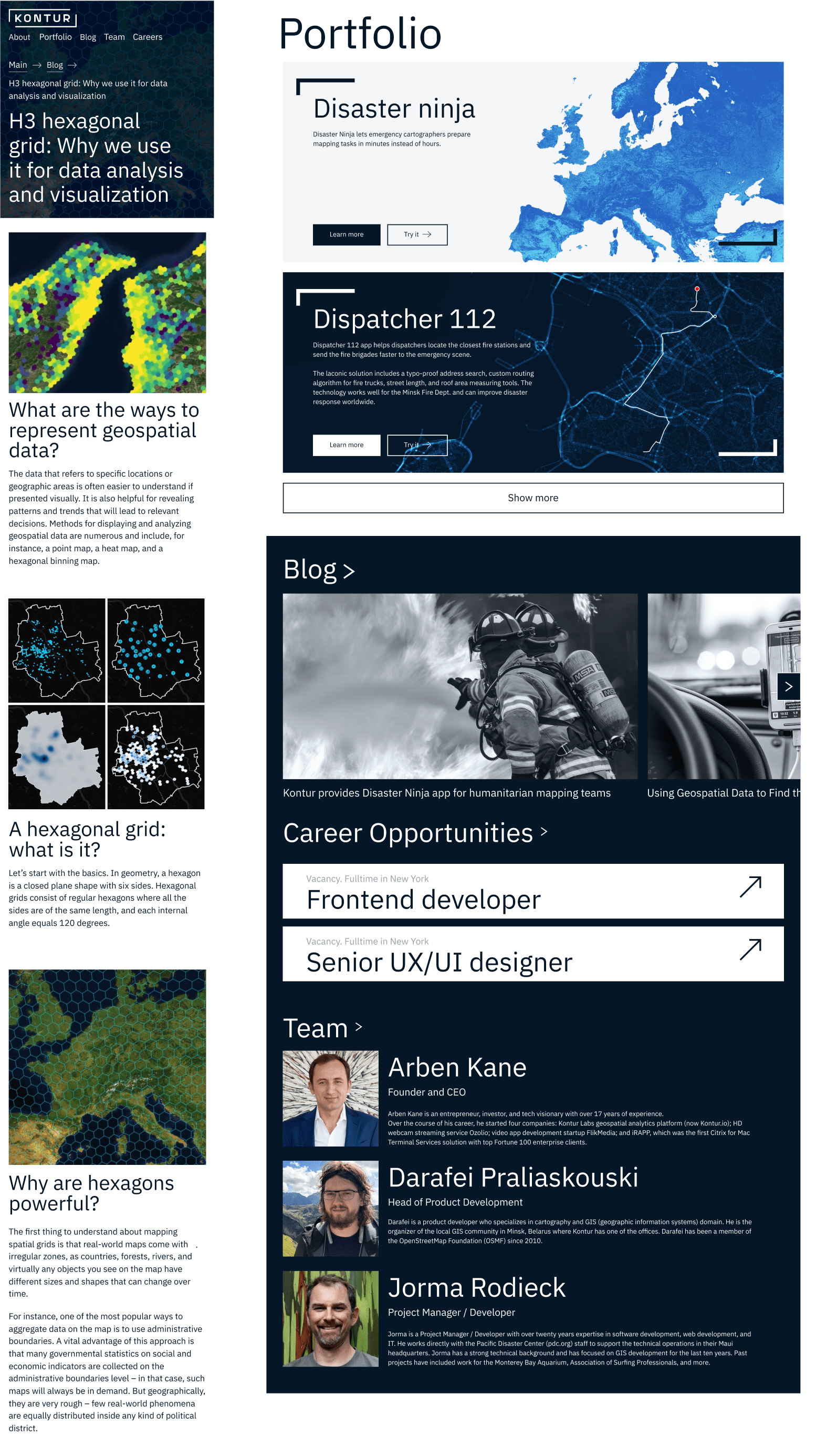
Site

The foundation has been laid! Now we’re building a house in which the brand will live.

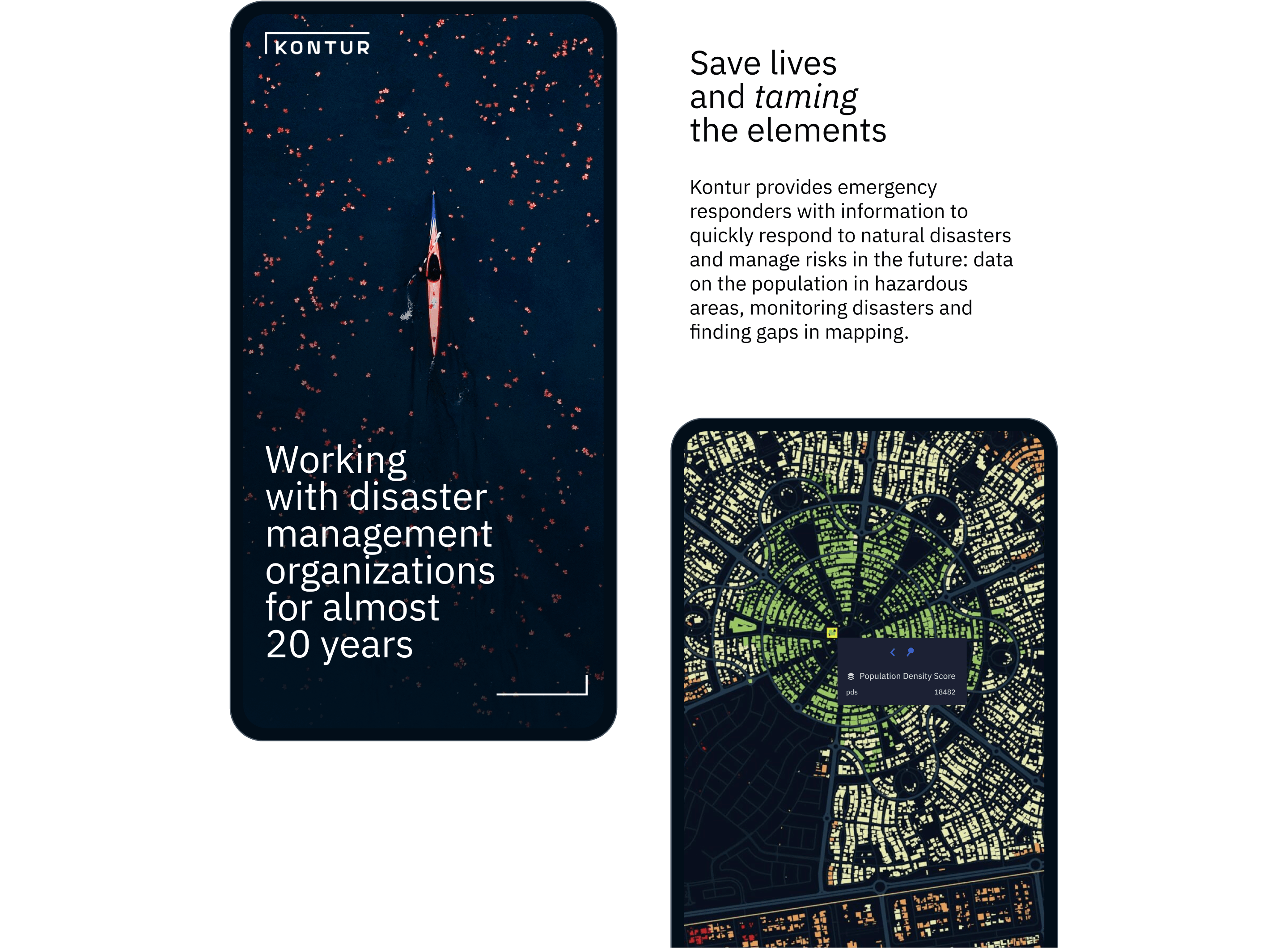
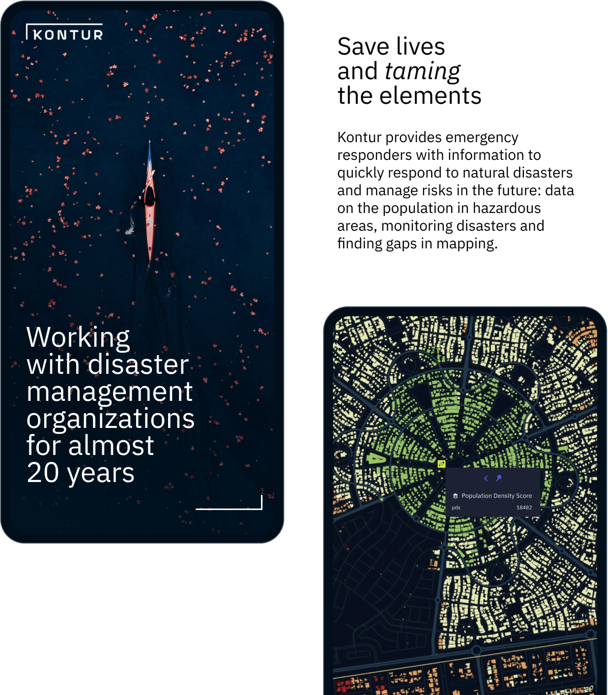
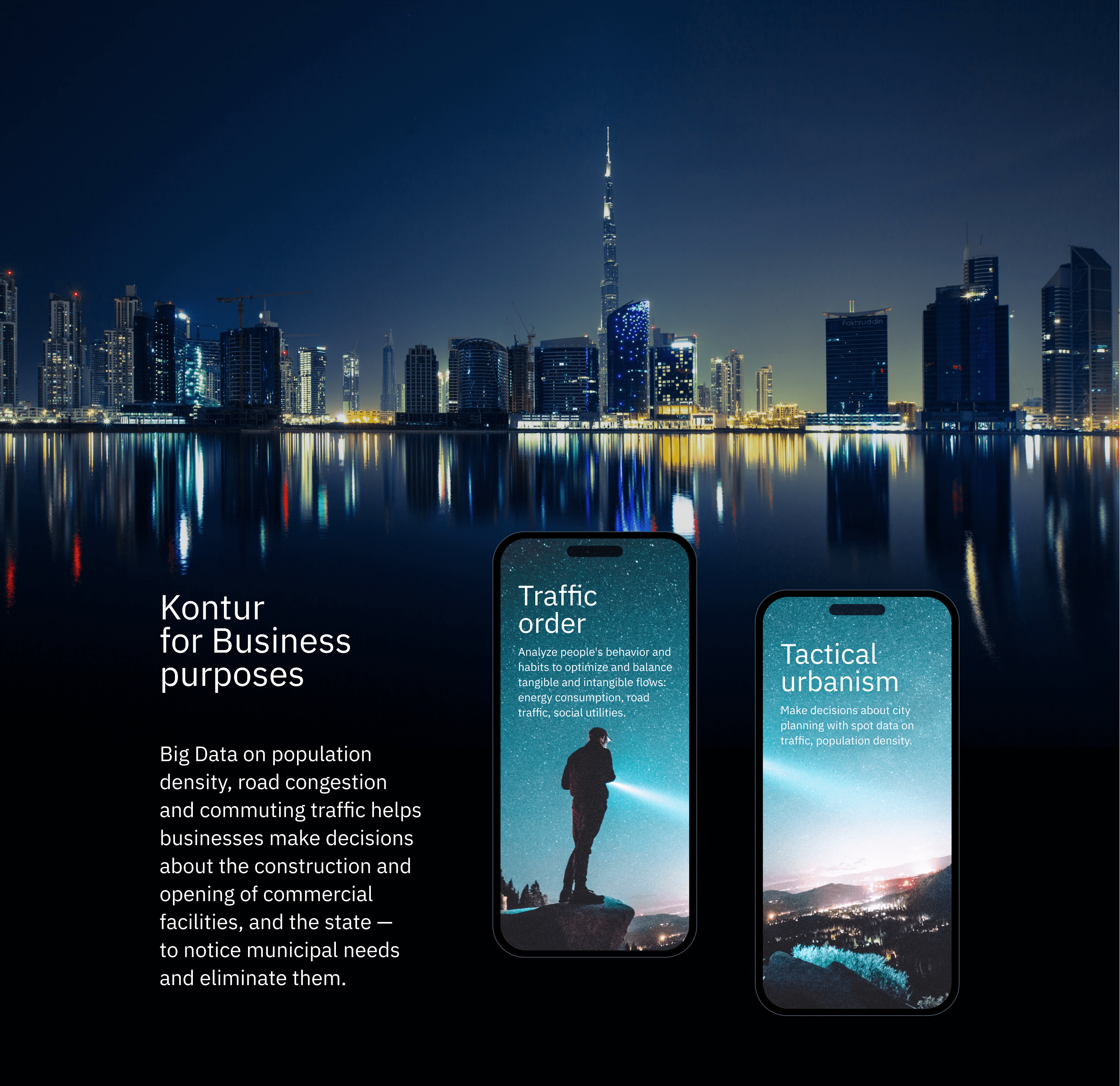
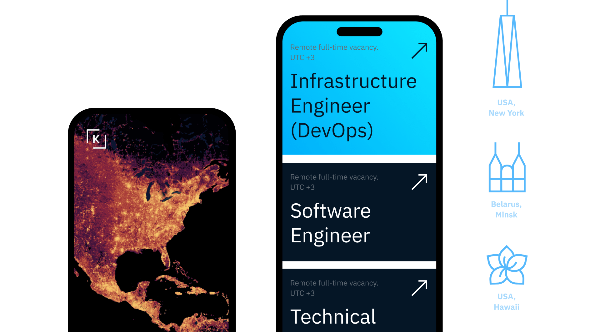
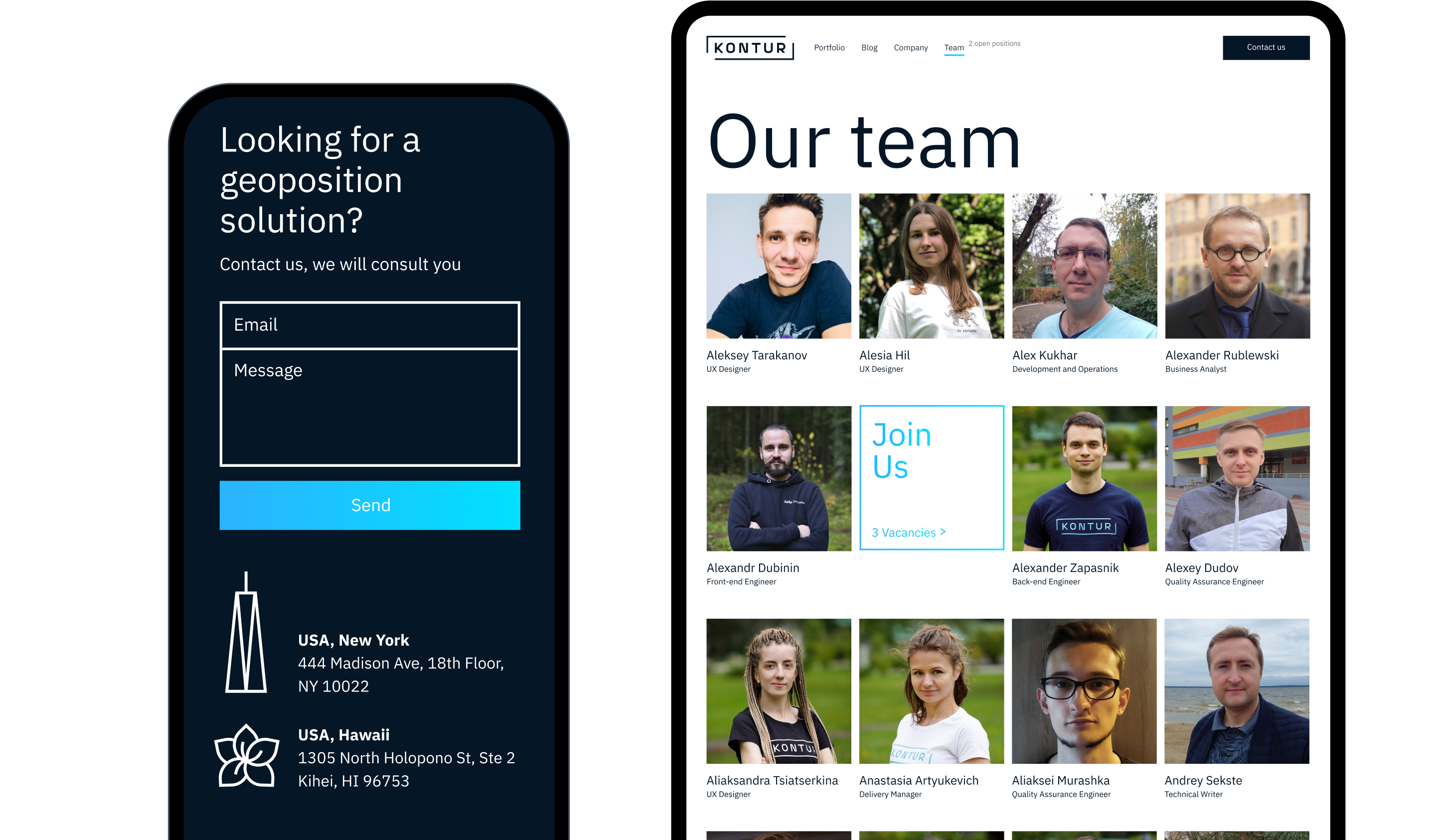
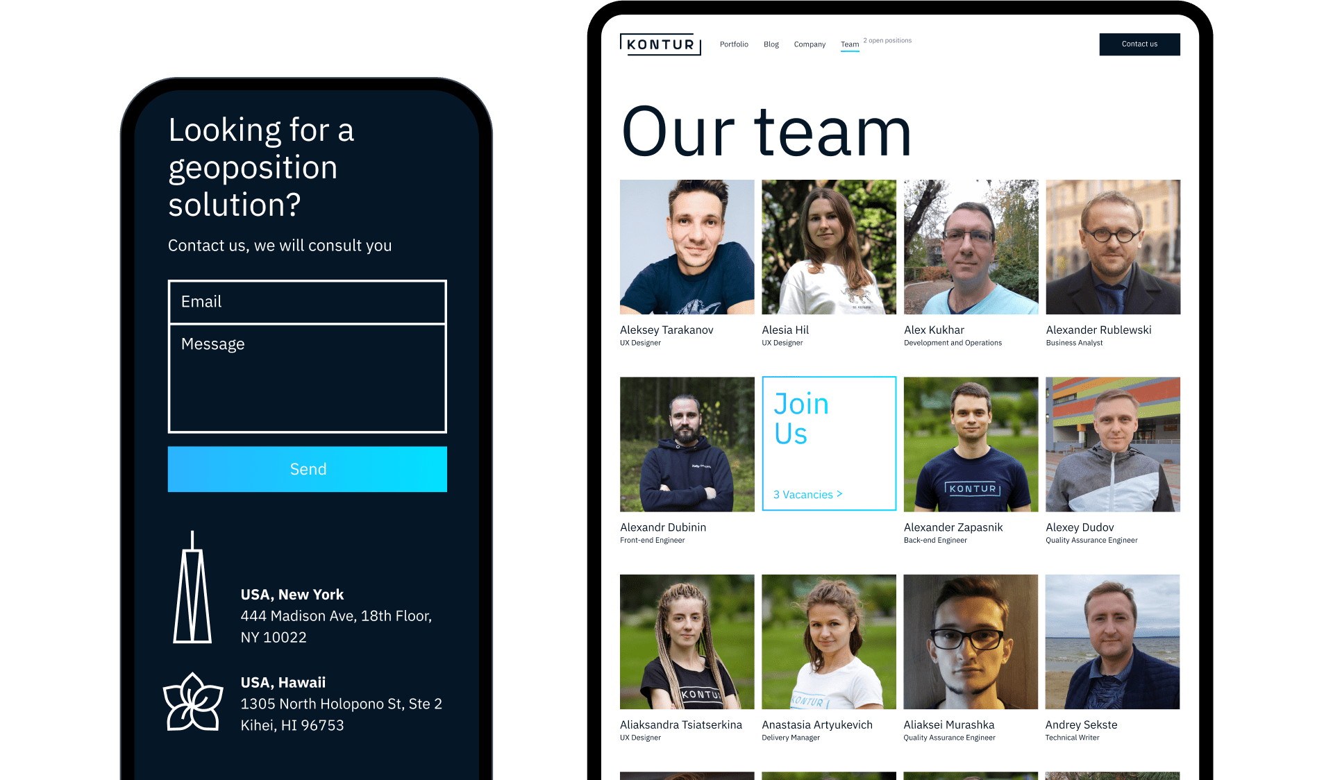
Large typography and product demos to give visitors an on-the-fly grasp of what Kontur is and what its value is.

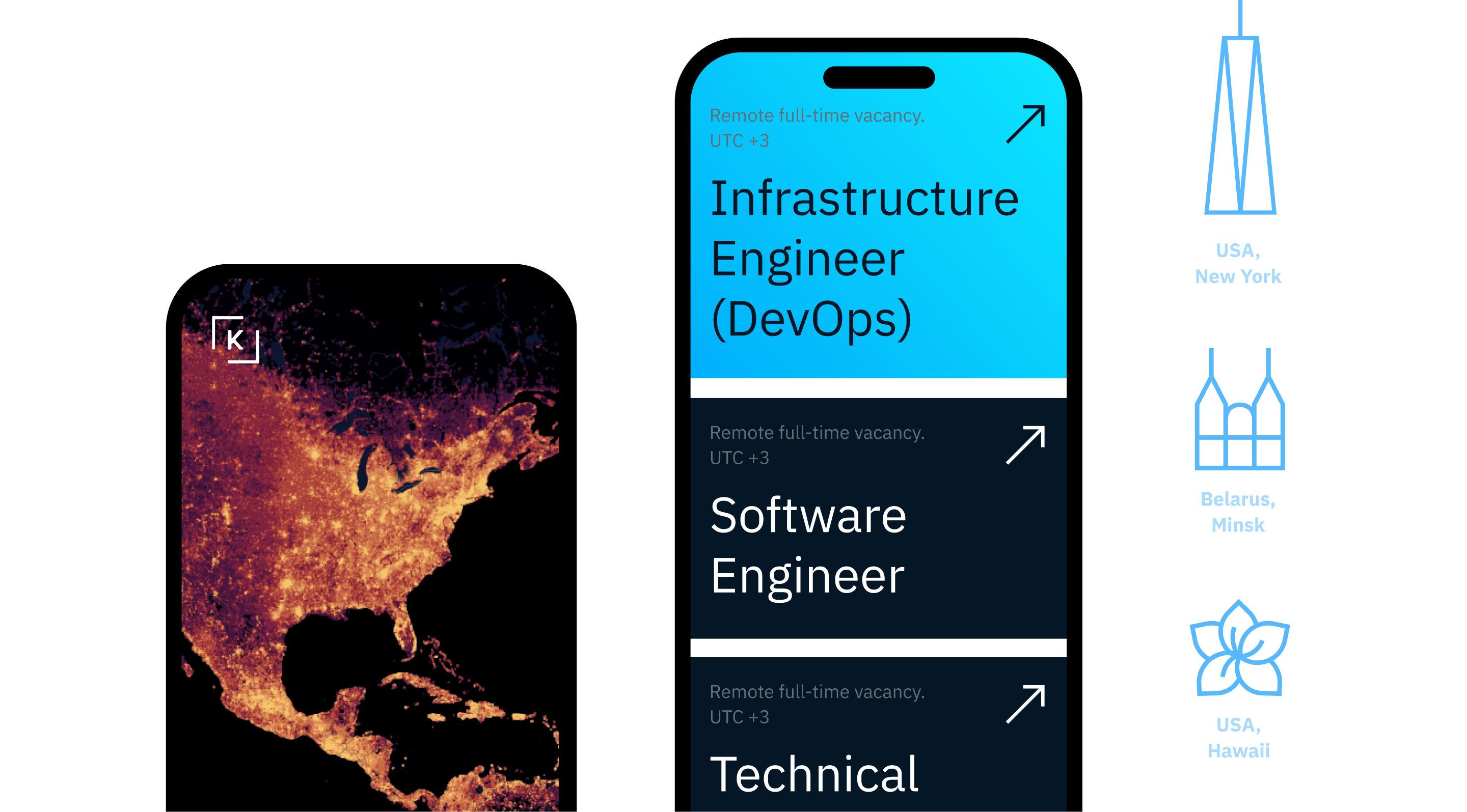
Identity elements brand Kontur services and are easily adapted to a tablet or phone.

Alles Gute, Kontur

With a new identity and website, Kontur can launch and integrate new services, communicate its value to potential customers, and help more companies save lives, open new businesses, and grow.

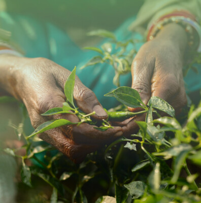
Take care of nature and yourself!

Let’s talk about business

Your request will immediately go to the sales department. One of the managers will answer you in order to discuss details. It takes up to half an hour during working hours

A website for OneSoil, the free platform for reliable agricultural decisions
Next project A website for OneSoil, the free platform for reliable agricultural decisions

The guys have figured out how to revolutionize agriculture, and we’re here to help them tell the world about it